Elevating London: the story of the Pedway


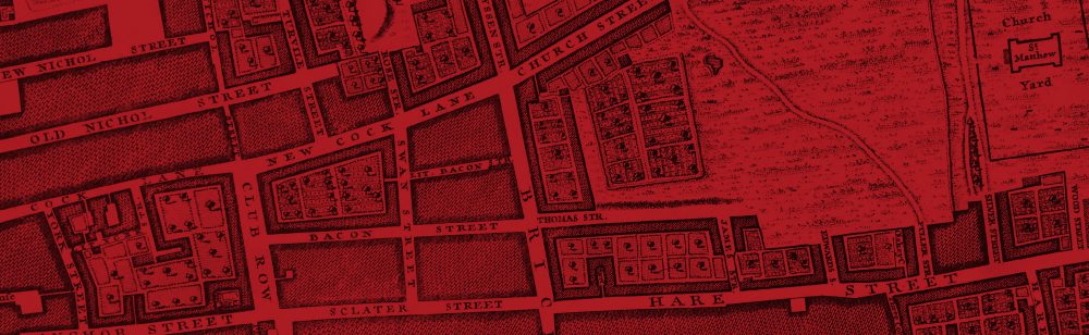
The Pedway: Elevating London is a 40-minute documentary by filmmaker Chris Bevan Lee on the post-war redevelopment of the City of London, focusing on the ambitious attempt to build a network of elevated walkways through the city. Packed with newsreel footage, it's a fascinating glimpse back into 1950s and 1960s London and a reminder of the extraordinary scale of devastation wreaked by the Blitz.
 
The film centres on a blueprint originated in 1947 by architect Charles Holden and planner William Holford whereby new commercial development in the City would incorporate raised walkways and bridges that would elevate pedestrians above the exhaust fumes and danger of the increasing traffic flows on the streets below. By the 1960s the City of London corporation had included the Pedway scheme in its own plans, requiring developers to incorporate Pedway elements in their buildings in order to obtain planning permission.
 

With the exception of the Barbican Centre, where the Pedway element was sufficiently integrated to work in isolation from other paths, the bizarre result was a series of dead-end bridges and paths many of which, now abandoned, still haunt the square mile.


Before watching Bevan Lee's film I knew nothing of the Pedway scheme but had often wondered about the seemingly inaccessible foot ways and bridges that cross the London Wall and Lower Thames Street dual carriageways. To my delight, when I started to read up about the scheme after watching the film, I learned that the building where I work (the St.Helen's Tower off St Mary Axe) was itself part of the scheme and until the 1990s had a walkway connecting it to its next door neighbour!

This is a lovely and very enlightening film. The extensive archive clips fit seamlessly with the modern footage and there are fascinating contextual sequences from movies like Fritz Lang's Metropolis that influenced the ideas behind the scheme. The film is beautifully shot and perfectly balanced with the commentary by expert academics and planners. All in all, an excellent documentary and I would highly recommend it to anyone with an interest in London's history and architecture.
 
The film can be viewed free of charge for a limited period at:
 
You can contact Chris Bevan Lee here
 
You can learn more about the Pedway scheme here.


Middle Temple Hall (1562)

Image


‘…those bricky towers,

The which on Thames’ broad aged back doe ride,

Where now the studious lawyers have their bowers,

There whilom wont the Templar knights to bide,

Till they decayed through pride.’ – Spenser, Prothalamion (1596).

For more information about this wonderful Elizabethan building, click here.

London’s Bare Necessities

One of the many lovely things about the City of London is the abundance of street names coined after the simple necessities of life. Several of these streets are offshoots of Cheapside, formerly the City's main market ('chepe' broadly meaning 'market' in Medieval English) including Milk Street, Bread Street, Honey Lane and Poultry, each reflecting the goods sold there.

Both Bread Street and Milk Street, shown below on John Rocque's beautiful map of 1746, pre-date the Great Fire by hundreds of years. Milk Street is first recorded as early as 1140 and in 1302 the bakers of London were ordered not to sell bread from their houses but rather from the market in Bread Street.

A short wander around the area soon reveals other 'bare necessities' captured in street names. Love Lane is one of many similarly named streets in England 'so-called of wantons', as John Stow put it in his Survey of London.

Further East towards the Tower of London, Water Lane was the site of the offices of the corporation of Trinity House, an organisation responsible for lighthouses and navigation of which Samuel Pepys was Master. It figures frequently in Pepys' Diary.

Next to Water Lane is Sugar Quay, formerly the appropriately-named site of the HQ of Tate & Lyle. This is a more recent name than those described above, and its origins not sweet but rooted in the slave trade as explained in this article by the Museum of London.

Finally, as we travel further East we arrive at Brick Lane. Its name stems from the brick manufacturing started in the 15th century, which used the local clay deposits to fuel the eastward expansion of London beyond the City walls. Today Brick Lane is the centre of Banglatown, filled with its famous curry houses and a centre for the clothing trade. But 200 years ago it was home to the subject of my forthcoming book, 'Joseph Merceron: The Godfather of Bethnal Green'. Please follow this blog or my twitter account @HistoryLondon for further updates.


PS. If you enjoyed this post, you may like this one about the lovely old hanging signs of Lombard Street!